
Lewiston Block Records Compared
A block search begins with public facts about land and civic geography, not a list of everyone inside each home. The county map can show adjacent parcels and owner leads. City systems add roads, zoning, historic districts, flood features, permits, and address decisions. Voter data follows a separate statutory request route. Older directories and maps may show past occupants or uses, but only for the year printed.
| Source | What It Shows About a Block | Access |
|---|---|---|
| County Property Map | Parcel shapes, tax IDs, owner-card leads, situs, mailing, legal description, ZIP, imagery | Free map; web result limit and county accuracy warning |
| City GIS layers | Road ranges, zoning, flood lines, historic districts, numbered neighborhoods, Orchard Blocks | Free REST metadata or GIS data request |
| Permits and planning | Address or parcel projects, inspections, decisions, hearings, and conditions | Community Development request; full web history not located |
| City Addressing | New or corrected address and notice to county, utilities, safety agencies, and USPS | Online form, PDF, email, mail, or office delivery |
| Voter file | Eligible public fields within an approved precinct or report scope | County or SOS request with fee and use certification |
| Historical sources | Dated household, business, building, burial, and neighborhood clues | Library, archives, cemetery, newspapers, and Sanborn maps |
An owner may live elsewhere, and a home may contain people absent from every public roll. A planning-neighborhood polygon also says nothing about association membership. The safe question is narrower: what public record connects a named person, owner, parcel, or dated event to this Lewiston block?
Map Lewiston Neighboring Parcels
The Nez Perce County Property Map supports tax ID, address and city, township-range-section, and coordinate searches. Its map tools include a buffer distance, selection tools, and current or all-property choices. A detailed parcel card may show owner names, property and mailing addresses, legal description, document reference, review year, and available photos or sketches. The map is a strong starting point for Lewiston neighbors because it preserves the physical lot pattern.
- Search one complete street address and confirm its tax ID and situs address.
- Pan or zoom to the parcels that share a side, rear line, or street frontage with the starting lot.
- Open each nearby parcel card separately. Record the owner lead, legal description, mailing address, document reference, and review year.
- Compare situs and mailing addresses. A match may suggest owner occupancy, but the map does not certify who lives there.
- Carry a parcel ID to City Community Development or the Recorder when the map does not answer the question.
For every parcel along a named road, switch to the Lewiston directory by street. The block method stays focused on the immediate ring around one address.
Layer Lewiston Block Geography
The county's PropertyMap ArcGIS service exposes parcels, roads, city and county boundaries, ZIP code, zoning, subdivisions, surveys, PLSS, imagery, structures, and the reservation boundary. PLSS means the Public Land Survey System, the township, range, and section grid used in many legal descriptions. The service limits selections and warns that its information may not be fully accurate, current, or reliable. Use it to orient the block, not as a deed.
City services add historic district fields, numbered neighborhood zones, Orchard Blocks, zoning, Downtown Parking, and flood lines. The one-way road layer can include road name, from and to address ranges, ZIP, status, and surface. Save the layer date and scale. A broad city layer can make an edge look exact when the legal parcel or official address file says otherwise.
Seven Lewiston Neighbor Areas
Lewiston's Parks and Open Space plan names seven planning neighborhoods: North Lewiston, Normal Hill, East Lewiston, Country Club, West Orchards, Central Orchards, and East Orchards. These names help organize parks, terrain, and development patterns. They are not legal parcel boundaries and do not create a resident organization.
Normal Hill has a dense set of parks and Normal Hill Cemetery. East Orchards grew from five-acre plats, with later divisions that left some interior pasture, gardens, drainageways, and landlocked parcels. Downtown has a historic district tied to development from 1890 through 1930. Such context explains why nearby lots may differ sharply in size or street access.
The City Community Development page is the official route for planning and neighborhood questions.
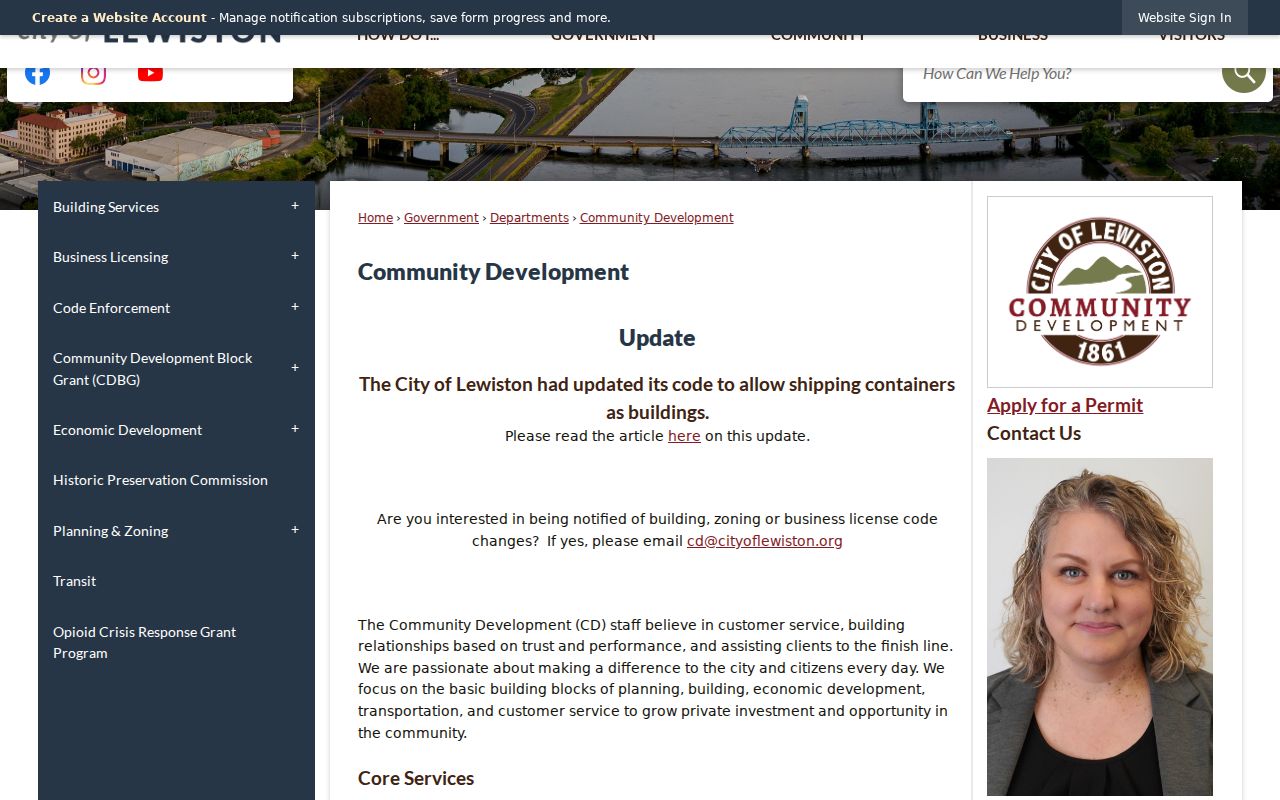
The page confirms work with neighborhood associations and residents, but it does not publish a named association roster or household directory.
Lewiston Association Roster Gap
No official roster, member directory, meeting schedule, or joining process was located for Lewiston neighborhood associations. City planning areas are not associations. Park names, GIS values, and social posts also do not prove a group exists or that a household belongs to it. Ask Community Development or Planning and Zoning for a current public contact instead of publishing an unverified person's details.
| Local Source | What Is Verified | What Is Not Verified |
|---|---|---|
| Community Development | Staff work with associations and residents | No named roster or joining list found |
| Parks plan | Seven planning neighborhoods | No association membership |
| GIS neighborhood layer | Numbered map values | No household or group contact |
| Chamber directory | Member businesses | No neighborhood household umbrella |
| Library and museum | Historical research groups and collections | No current resident roster |
Lewiston Neighbor Voter Records
The VoteIdaho registration page lets a voter reach registration and status services. A public voter roll may include name, street or mailing address, county, gender, age rather than full birth date, optional phone, party, and election participation. It never shows how a ballot was marked. Driver-license numbers, signatures, full birth dates, and the last four Social Security digits are not public.
There is no verified open web screen that returns every voter on a Lewiston block. County elector information and statewide files use formal request scopes, fees, and statutory-use certifications. A precinct is election geography, not a block radius. Protected addresses and Idaho Address Confidentiality Program records are omitted or substituted.
The captured state registration route shows the proper starting point for voter questions about Lewiston neighbors.
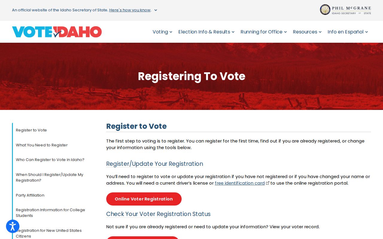
Use a row only for its stated registration facts. It does not prove that someone is home now or owns the parcel.
Correct Lewiston Neighbor Addresses
Public Works controls new and current city addresses. The City Addressing service accepts an online form, fillable PDF, email, mail, or delivery to 215 D Street. Review may follow development, subdivision, inconsistent ranges, or correction. Public Works, Community Development, Police, Fire, county offices, utilities, and USPS receive notice. A house-number change does not need Council approval, but a street-name change does.
Keep an address timeline when the parcel map, voter row, directory, and postal form disagree. Record the old number, current number, change date, parcel ID, and source. Postal standardization and municipal validity answer different questions. This is especially useful near the Orchards, where annexation and later address work can change how the same place appears in records.
Find Past Lewiston Neighbors
Historical neighbors require dated sources. A city directory may show a subscriber, spouse, occupation, phone, or street entry for one publication year. A 1900 Sanborn sheet maps building footprints and uses, not a present household. Lewiston newspapers, funeral notices, and cemetery records add names and events, but each needs corroboration.
The Normal Hill Cemetery search can connect a name to a burial location and nearby plots.
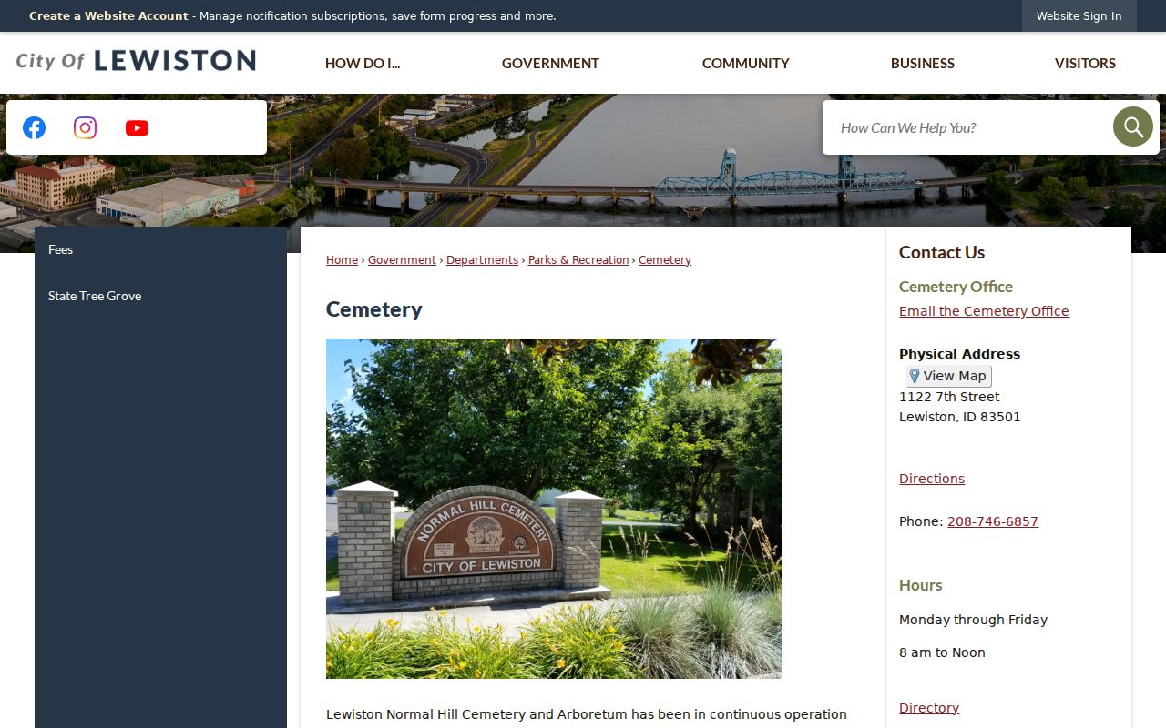
A cemetery result is a historical location clue. It should be checked against an obituary, certificate, newspaper, or family record before a relationship is stated.
Separate Lewiston Owners and Neighbors
The Recorder keeps the legal instrument trail, while the Assessor maps parcels and values. Nez Perce County did not expose a public online grantor-grantee index in the reviewed official sources. A block project that needs deeds must therefore use the Recorder counter or mail route and identify the parties, property, document type, or reference as well as possible.
The Recorder inquiry page documents that official fallback.
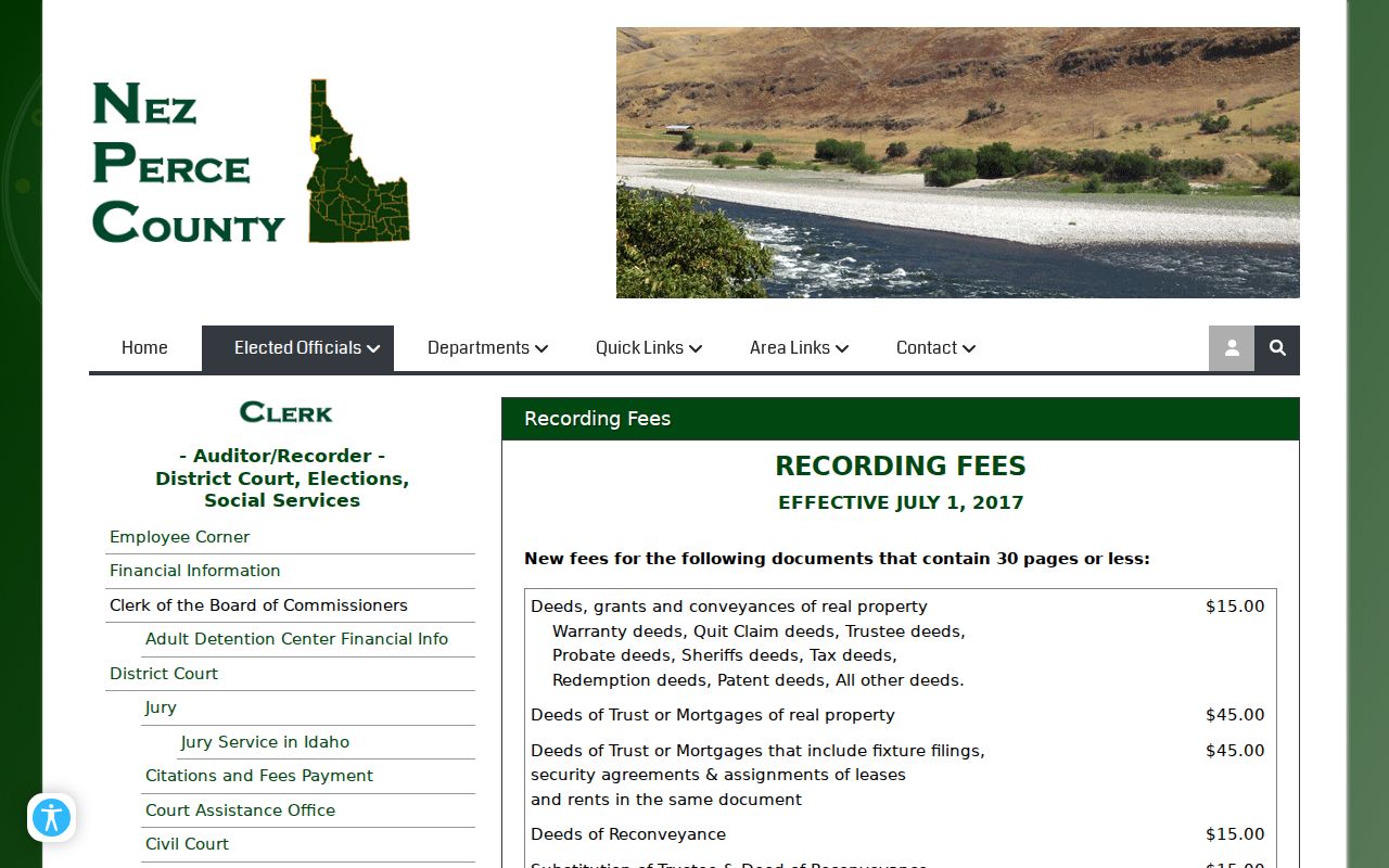
A deed can establish a recorded transfer. It still does not list all current occupants or prove that the named owner resides on the block.
Official Lewiston Neighbor Sources
Commercial neighbor tools may blend marketing data, old addresses, phone claims, and modeled household links. Official records are narrower, dated, and tied to a custodian. Their limits are often useful because they show exactly what has and has not been established.
| Question | Official Record | Commercial Category |
|---|---|---|
| Who owns this lot? | Parcel card, then Recorder instrument | May repeat stale or unsourced ownership |
| Who lives here now? | No single complete public household roll | May model household links without proof |
| What is beside the parcel? | County and City GIS layers | Map source and date may be unclear |
| Was a name here before? | Dated directory, obituary, cemetery, or newspaper | Old addresses may be merged without context |
Use the agency record for a fact that matters. Do not treat a paid profile as a substitute for the custodian's document.
Lewiston Neighbor Privacy Limits
Parcel records do not name every renter, child, guest, or household member. Utility customer data, delivery records, DMV information, sealed cases, sensitive health and adoption files, and protected addresses are not a lawful shortcut to finding Lewiston neighbors. Idaho voter rules and Address Confidentiality Program protections also limit what can appear. Do not infer a protected person's location from a parcel, relative, or old directory.
Correct errors through the office that holds the record. A map layer may need a GIS inquiry, an address issue goes to Public Works, a deed question goes to the Recorder, and a voter record goes to election staff. Keep the minimum data needed for the task and do not republish a block roster.
Lawful use. Research Lewiston neighbors only for lawful civic, family, historical, or personal safety needs. Never use these records to stalk, threaten, harass, or intimidate anyone.