
Walk a Lewiston Street Record
A useful Lewiston street directory search moves from the place to the records that describe it. Begin with the exact address, including unit and directional text. The county parcel result can identify a tax ID, situs address, legal description, and document reference. It does not establish every person living there. Each later source answers a narrower question, and the source date should travel with the answer.
- Enter the street address and Lewiston in the Nez Perce County Property Map. Copy the tax ID, situs, owner display, legal description, document reference, and review year.
- Pan along the same Lewiston street. Open nearby parcels individually and note map scale, parcel lines, and whether current or all property is selected.
- Ask the County Clerk about a lawful voter-file request when registration is relevant. Public fields can provide an address clue, but never a ballot choice or assured current presence.
- Give the Recorder the parcel keys and request the current instrument. Then move backward by prior grantor, grantee, legal description, and recording reference.
- For an earlier household, consult one specific directory year. Verify the printed street entry against a deed, newspaper, census substitute, or cemetery record.
This chain keeps ownership, registration, mailing, and occupancy from being blurred together. When the question concerns only one named person, the Lewiston resident search uses a different name-first workflow.
Search Lewiston Parcels by Address
The public Property Map is the strongest online address starting point. Its captured form did not expose an owner-name box, so an address, tax ID, land description, or coordinate is the practical key. A result can show owner names, property and mailing addresses, legal description, document reference, review year, photographs, and sketches. The web interface limits a query to 1,000 results. That limit favors one street segment or parcel over a broad city-wide pull.
| Search control | Input | Useful result | Caution |
|---|---|---|---|
| Address | Text plus City selector | Parcel card and map location | Requiredness was not labeled |
| Tax ID | Text | Direct parcel key | Copy it exactly |
| Township, range, section | Select controls | Rural or older land context | Not a street address |
| Latitude, longitude | Coordinate text | Map position | Does not prove title |
| Owner name | No public field captured | Ask Assessor about staff lookup | Do not promise a web search |
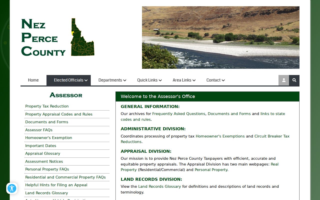
The Nez Perce County Assessor page explains the office split and links its map tools. The Assessor handles valuation and mapping questions. Recorded title questions belong with the Recorder.
The official Assessor page is shown below as the handoff from parcel facts to office help.
Lewiston Records Organized by Street
No single Lewiston street directory lists a complete household. County and city offices organize address-linked facts for different legal purposes. The parcel map provides the common key, while the deed, permit, address decision, voter record, and old directory each add evidence with its own limits.
| Address record | Custodian | Street-level evidence | Access route |
|---|---|---|---|
| Parcel and assessment | Nez Perce County Assessor | Owner display, situs, mailing, tax ID, legal description | Free Property Map; office at 208-799-3010 |
| Parcel geometry and layers | County and City GIS | Roads, parcels, zoning, ZIP, districts, imagery | Public map/REST service or GIS request |
| Deed, lien, plat, survey | County Recorder | Recorded parties, legal land, document links | Counter or mail; public web index not located |
| Address assignment and permit | City Public Works or Community Development | Assigned number, changes, project and inspection dates | Office inquiry or city public-record request |
| Voter file | County Clerk or Idaho Secretary of State | Eligible public registration fields by authorized scope | Request form, fee, and use certification |
| Historical street entry | Library, UI, State Archives | Listed subscriber, spouse, trade, phone, address | Volume, image, microfilm, or research help |
The tax ID and legal description are stronger connectors than a name alone. A street number may change. The parcel description and recorded reference help the clerk follow the land despite spelling or numbering differences.
Read Lewiston Street Map Layers
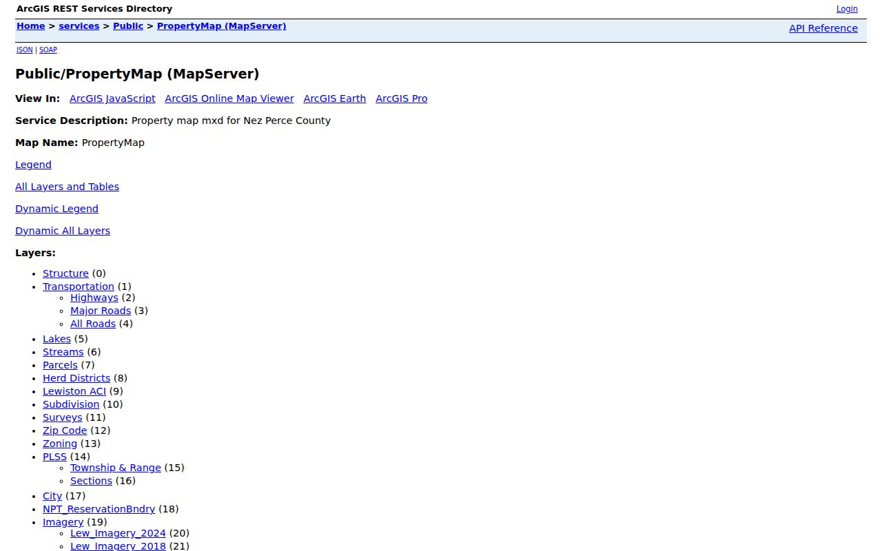
The county PropertyMap ArcGIS service exposes parcels, roads, city and county boundaries, ZIP code, zoning, subdivisions, surveys, PLSS land divisions, imagery, structures, and the reservation boundary. The service has a 2,000-record query or selection ceiling, and some layers appear only at useful map scales. A boundary on screen is a research aid, not a certified survey.
For a whole-street browse, zoom until individual lots can be selected. Move in a consistent direction and record tax IDs rather than copying names into an unsourced list. Buffer and measure tools can help locate adjacent parcels. A map result may be current while its photo or review year is older, so capture both the access date and the field date.
The layer inventory itself can be checked in this county service view.
Lewiston also maintains GIS through Engineering and Public Works. The City GIS office accepts map-data questions at 215 D Street, Suite B, and can route a request when an interactive target is not visible.
Define a Lewiston Street Address
Four common terms keep a by-address search precise. They are not interchangeable, even when the same street text appears in several records.
- Parcel
- A mapped unit of land identified by a tax ID and legal description.
- Situs address
- The physical location assigned to the property, as distinct from the place where tax mail is sent.
- Plat
- A recorded map that lays out a subdivision, lots, blocks, and related lines.
- Criss-cross directory
- A printed directory arranged by street address rather than only by surname.
A mailing address may belong to an owner, agent, or bill destination elsewhere. It does not prove residence at the Lewiston situs. Likewise, a legal description can identify land without using the current street number. Keep all three fields when preparing a recorder request.
Note: Label every copied name by its source, record date, and exact relationship to the address.
Lewiston Assigns Street Numbers
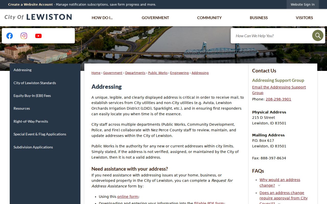
The City of Lewiston, not USPS, assigns or reviews municipal addresses. Its Addressing Support Group coordinates Public Works, Building Services, county offices, utilities, USPS, Fire, and Police. A street-name change requires City Council action. When a new subdivision, range correction, or old street form causes a mismatch, request the city decision and its effective date before treating either spelling as wrong.
The City Addressing page is the correct first stop for local validity. USPS standardization follows later and may take five to seven business days after a local assignment appears. That lag can explain why a parcel and postal search disagree without implying that a resident moved.
The city page below shows the official coordination route for a Lewiston address question.
Trace Lewiston Deeds by Street
The Nez Perce County Recorder documents counter and mail service, but official pages did not reveal a public online grantor-grantee index or a historical cutoff. Bring the tax ID, legal description, current owner display, and document reference to the first-floor office at 1230 Main Street. Ask for the index entry and record image separately.
A grantor transfers an interest; a grantee receives it. Start with the latest referenced instrument, then search the prior party and the exact land description. Mortgages, deeds of trust, reconveyances, assignments, liens, releases, probate transfers, plats, and surveys may explain different stages. A directory listing or tax-mailing address is not a deed.
Plain copies cost $1 per page on the published schedule, with $1 added for certification. Recording fees differ by instrument. Confirm the live amount before mailing payment and include a self-addressed envelope.
Request Lewiston Address Files
City permit, planning, zoning, and address-assistance records can explain when a structure, use, or official address changed. No verified public permit-history search with a coverage cutoff was found. That makes the fallback chain important: contact Community Development, identify the parcel and date range, then submit a city request through NextRequest if staff directs it there.
Ask for a permit number, project type, issue date, final or inspection date, address used at the time, parcel number, and any address-change notice. City GIS road features can include road name, from and to address ranges, ZIP, status, and surface. Those fields describe the mapped road. They do not name every Lewiston resident along it.
The City GIS information screen supplies a documented path for data requests.
Lewiston Orchards Changes the Search
Late-1969 annexation brought the Orchards into a different municipal context and doubled Lewiston's population according to the city design source. An earlier volume may say Lewiston Orchards, a rural route, a subdivision, or a township description where a later record uses a city street. The parcel did not necessarily move. The authority and wording changed.
Modern planning divides Lewiston into North Lewiston, Normal Hill, East Lewiston, Country Club, West Orchards, Central Orchards, and East Orchards. These are planning areas, not legal title boundaries or household groups. East Orchards also retains clues from older five-acre plats. Search an older label alongside the modern situs, then use a plat, map layer, or recorded legal description to connect them.
Lewiston Voter Records by Street
Idaho's public voter file can include a name, address, county, age, gender, party, participation, and an optional phone, subject to statutory omissions. It does not reveal how anyone voted. The open status screen did not expose a verified ZIP or street-wide search in unattended research, so do not promise one.
Nez Perce County elections and the Secretary of State can route a lawful file request. The state form charges $20 for voter-registration information and requires a use certification. Address Confidentiality Program participants and other protected addresses require special care. A registration row may also lag a move, so compare it with an independently dated parcel or directory fact.
Limits of Lewiston Street Directories
A parcel card may show an owner without showing occupants. A voter record covers only registered voters whose fields may lawfully be released. A printed street directory is a dated publisher's snapshot. Utility customer details, motor-vehicle addresses, confidential registrations, and private household relationships do not become public merely because an address is known.
Use the narrowest source that answers the question. For family history, an old directory can lead to a newspaper or deed. For property curiosity, the map can lead to a recorded instrument. Neither route supports guessing about people who are absent from the record.
Lawful use. Lewiston address records are for legitimate personal and civic research. Never use them to stalk, intimidate, harass, or harm a person.